
Bolgatanga topographic map
Interactive map
Click on the map to display elevation.
About this map
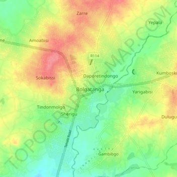
Name: Bolgatanga topographic map, elevation, terrain.
Location: Bolgatanga, Upper East Region, Ghana (10.74565 -0.88946 10.82565 -0.80946)
Average elevation: 188 m
Minimum elevation: 155 m
Maximum elevation: 227 m