
Culver topographic map
Interactive map
Click on the map to display elevation.
About this map
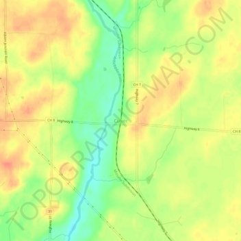
Name: Culver topographic map, elevation, terrain.
Location: Culver, Saint Louis County, Minnesota, USA (46.90577 -92.57853 46.94577 -92.53853)
Average elevation: 400 m
Minimum elevation: 373 m
Maximum elevation: 417 m