
Myeik Township topographic map
Interactive map
Click on the map to display elevation.
About this map
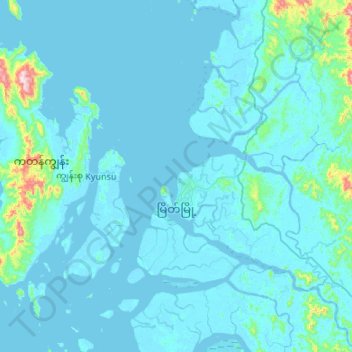
Name: Myeik Township topographic map, elevation, terrain.
Location: Myeik Township, Myeik District, Tanintharyi Region, Myanmar (12.21484 98.49675 12.73837 98.92446)
Average elevation: 38 m
Minimum elevation: -3 m
Maximum elevation: 750 m
Other topographic maps
Click on a map to view its topography, its elevation and its terrain.