

Wessinghuizen topographic map
Click on the map to display elevation.
Wessinghuizen
De buurtschap behoort tot de oudere nederzettingen in de huidige gemeente Stadskanaal. Het werd gesticht op een zandhoogte langs de Ruiten Aa. De zandhoogte Jardinghkamp in het zuiden van de vroegere marke van Wessinghuizen wordt al genoemd in 1391, als vlak bij de buurtschap Egge Addinga, de Heer van Westerwolde, wordt vermoord door 'groete Heijne Balinck'. Het dorp zelf wordt voor het eerst genoemd als de burscapp Wertzinge huzen in 1472, toen Hans Menens er een huis en een hof verkocht aan Egge II Addinga.
About this map
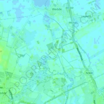
Name: Wessinghuizen topographic map, elevation, terrain.
Average elevation: 3 m
Minimum elevation: -2 m
Maximum elevation: 8 m