
Roy Lake topographic map
Interactive map
Click on the map to display elevation.
About this map
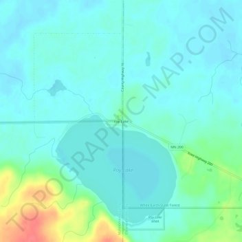
Name: Roy Lake topographic map, elevation, terrain.
Location: Roy Lake, Minnesota, USA (47.30524 -95.57169 47.34524 -95.53169)
Average elevation: 460 m
Minimum elevation: 448 m
Maximum elevation: 507 m