
Munghorn Gap Nature Reserve topographic map
Interactive map
Click on the map to display elevation.
About this map
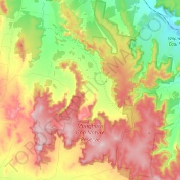
Name: Munghorn Gap Nature Reserve topographic map, elevation, terrain.
Average elevation: 554 m
Minimum elevation: 372 m
Maximum elevation: 743 m
Other topographic maps
Click on a map to view its topography, its elevation and its terrain.
Cooyal
Australia > New South Wales > Cooyal
Cooyal, Mid-Western Regional Council, New South Wales, Australia
Average elevation: 557 m