
Kyarusozi topographic map
Interactive map
Click on the map to display elevation.
About this map
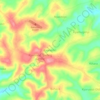
Name: Kyarusozi topographic map, elevation, terrain.
Location: Kyarusozi, Kyenjojo, Western Region, Uganda (0.75359 30.53190 0.79359 30.57190)
Average elevation: 1,456 m
Minimum elevation: 1,401 m
Maximum elevation: 1,505 m