
Thank you for supporting this site ❤️
Make a donation
Make a donation
Gear up for your next adventure:
As an Amazon Associate, this site earns from qualifying purchases at no extra cost to you.
Woodcroft topographic map
Click on the map to display elevation.
Thank you for supporting this site ❤️
Make a donation
Make a donation
Gear up for your next adventure:
As an Amazon Associate, this site earns from qualifying purchases at no extra cost to you.
About this map
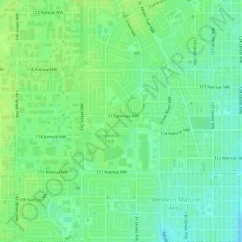
Name: Woodcroft topographic map, elevation, terrain.
Location: Woodcroft, Western Mature Area, Edmonton, Alberta, Canada (53.55886 -113.56582 53.57038 -113.54937)
Average elevation: 673 m
Minimum elevation: 666 m
Maximum elevation: 678 m
Thank you for supporting this site ❤️
Make a donation
Make a donation
Gear up for your next adventure:
As an Amazon Associate, this site earns from qualifying purchases at no extra cost to you.