Geolocate

Labangon topographic map

Click on the map to display elevation.

About this map
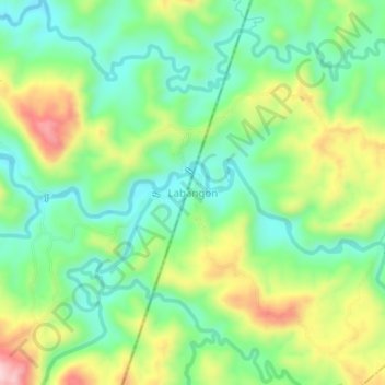
Name: Labangon topographic map, elevation, terrain.

Location: Labangon, Zamboanga del Sur, Zamboanga Peninsula, Philippines (8.10606 123.16616 8.14606 123.20616)

Average elevation: 194 m

Minimum elevation: 92 m

Maximum elevation: 372 m

Other topographic maps

Click on a map to view its topography, its elevation and its terrain.

Midsalip

Philippines > Zamboanga del Sur

Average elevation: 363 m

Sominot

Philippines > Zamboanga del Sur

Average elevation: 261 m

Midsalip

Philippines > Zamboanga del Sur

Average elevation: 363 m

Gear up for your next adventure:

🧳Outdoor Travel Organizers - Gear organization accessories
🧊Insulated Stainless Steel Flasks - Keep water cold for 24 hours in the heat or coffee hot in the cold
🎒Hiking Backpacks - Backpacks designed for hiking and trekking
📍Handheld GPS - GPS devices for hiking and navigation
🌿Flora and Fauna Field Guides - Identify the plants and animals you encounter on your route

As an Amazon Associate, this site earns from qualifying purchases at no extra cost to you.