
Ojibway Park topographic map
Interactive map
Click on the map to display elevation.
About this map
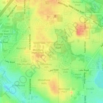
Name: Ojibway Park topographic map, elevation, terrain.
Location: Ojibway Park, Woodbury, Washington County, Minnesota, USA (44.90759 -92.95866 44.91251 -92.95413)
Average elevation: 312 m
Minimum elevation: 287 m
Maximum elevation: 335 m
Other topographic maps
Click on a map to view its topography, its elevation and its terrain.
Tamarack Nature Preserve
Tamarack Nature Preserve, Woodbury, Washington County, Minnesota, USA
Average elevation: 314 m