
Spring Creek topographic map
Interactive map
Click on the map to display elevation.
About this map
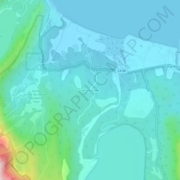
Name: Spring Creek topographic map, elevation, terrain.
Location: Spring Creek, El Dorado County, California, USA (38.90907 -120.08491 38.94907 -120.04491)
Average elevation: 1,965 m
Minimum elevation: 1,897 m
Maximum elevation: 2,398 m