
Sölden topographic map
Interactive map
Click on the map to display elevation.
About this map
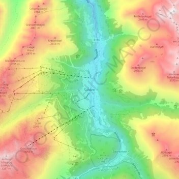
Name: Sölden topographic map, elevation, terrain.
Location: Sölden, Bezirk Imst, Tirol, 6450, Austria (46.92740 10.96702 47.00740 11.04702)
Average elevation: 2,187 m
Minimum elevation: 1,284 m
Maximum elevation: 3,302 m