
Ruboma topographic map
Interactive map
Click on the map to display elevation.
About this map
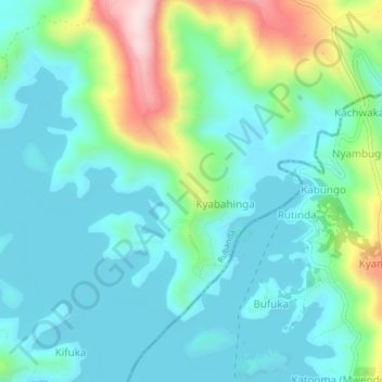
Name: Ruboma topographic map, elevation, terrain.
Location: Ruboma, Kabale, Western Region, Uganda (-1.28692 29.90651 -1.24692 29.94651)
Average elevation: 2,023 m
Minimum elevation: 1,937 m
Maximum elevation: 2,307 m