
Jeff topographic map
Click on the map to display elevation.
About this map
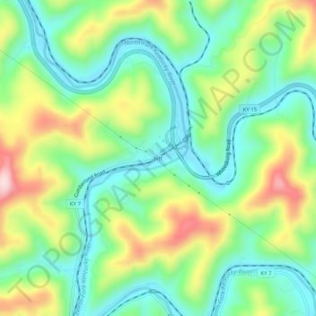
Name: Jeff topographic map, elevation, terrain.
Location: Jeff, Perry County, Kentucky, 41751, United States (37.18510 -83.15628 37.22510 -83.11628)
Average elevation: 374 m
Minimum elevation: 264 m
Maximum elevation: 575 m