
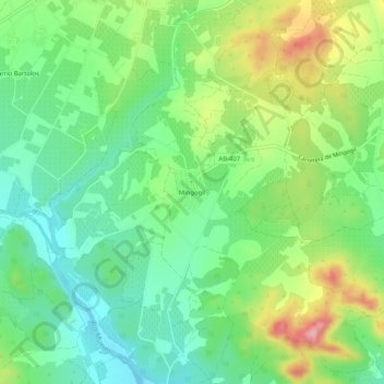
Mingogil topographic map
Interactive map
Click on the map to display elevation.
About this map
Name: Mingogil topographic map, elevation, terrain.
Location: Mingogil, Hellín, Albacete, Castille-La Manche, Espagne (38.44063 -1.76144 38.48063 -1.72144)
Average elevation: 459 m
Minimum elevation: 400 m
Maximum elevation: 565 m