
Manitowik Lake topographic map
Interactive map
Click on the map to display elevation.
About this map
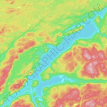
Name: Manitowik Lake topographic map, elevation, terrain.
Average elevation: 394 m
Minimum elevation: 301 m
Maximum elevation: 527 m
Other topographic maps
Click on a map to view its topography, its elevation and its terrain.
Lake Superior Provincial Park
Canada > Ontario > Algoma District
Lake Superior Provincial Park, Algoma District, Northeastern Ontario, Ontario, Canada
Average elevation: 320 m
Vert Lake
Canada > Ontario > Algoma District
Vert Lake, Algoma District, Northeastern Ontario, Ontario, Canada
Average elevation: 476 m
Cook Island
Canada > Ontario > Algoma District > The North Shore Township
Cook Island, The North Shore Township, Algoma District, Northeastern Ontario, Ontario, Canada
Average elevation: 177 m