
罗布泊 topographic map
Interactive map
Click on the map to display elevation.
About this map
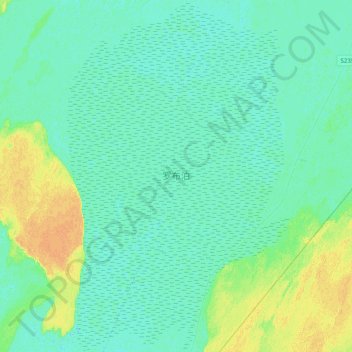
Name: 罗布泊 topographic map, elevation, terrain.
Location: 罗布泊, 若羌县, 巴音郭楞蒙古自治州, 新疆维吾尔自治区, 中国 (40.55512 90.80856 40.84942 91.05692)
Average elevation: 794 m
Minimum elevation: 788 m
Maximum elevation: 811 m
Other topographic maps
Click on a map to view its topography, its elevation and its terrain.