
桂林镇 topographic map
Interactive map
Click on the map to display elevation.
About this map
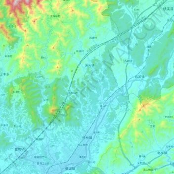
Name: 桂林镇 topographic map, elevation, terrain.
Location: 桂林镇, 歙县, 黄山市, 安徽省, 中国 (29.87667 118.36695 30.07934 118.54104)
Average elevation: 243 m
Minimum elevation: 110 m
Maximum elevation: 1,068 m
Other topographic maps
Click on a map to view its topography, its elevation and its terrain.