
Stollen topographic map
Interactive map
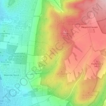
Click on the map to display elevation.
About this map
Name: Stollen topographic map, elevation, terrain.
Average elevation: 261 m
Minimum elevation: 153 m
Maximum elevation: 384 m
Other topographic maps
Click on a map to view its topography, its elevation and its terrain.
Trift
Deutschland > Niedersachsen > Göttingen
Trift, Göttingen, Landkreis Göttingen, Niedersachsen, Deutschland
Average elevation: 295 m