
龙洞镇 topographic map
Interactive map
Click on the map to display elevation.
About this map
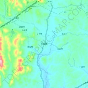
Name: 龙洞镇 topographic map, elevation, terrain.
Location: 龙洞镇, 湘乡市, 湘潭市, 湖南省, 中国 (27.79730 112.47400 27.87730 112.55400)
Average elevation: 111 m
Minimum elevation: 53 m
Maximum elevation: 373 m
Other topographic maps
Click on a map to view its topography, its elevation and its terrain.