Geolocate

Balangcas topographic map

Click on the map to display elevation.

About this map
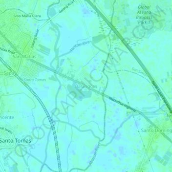
Name: Balangcas topographic map, elevation, terrain.

Location: Balangcas, Minalin, Pampanga, Central Luzon, Philippines (14.98145 120.70616 15.02145 120.74616)

Average elevation: 3 m

Minimum elevation: -2 m

Maximum elevation: 6 m

Gear up for your next adventure:

🔋Rechargeable Batteries - Eco-friendly power for high-drain GPS units and flashlights
⛺Ultralight Solo Tents - Compact shelters for multi-day topographic surveying expeditions
📚Map Reading & Navigation Guides - Master the art of interpreting topographic contours and symbols
🦟Heavy Duty Insect Repellent - Essential protection against flies, mozzies, and march flies
🧣Merino Neck Gaiters - Versatile headwear for warmth, sun protection, or dust filtering

As an Amazon Associate, this site earns from qualifying purchases at no extra cost to you.