
Urikomam Terara topographic map
Interactive map
Click on the map to display elevation.
About this map
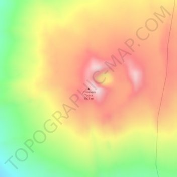
Name: Urikomam Terara topographic map, elevation, terrain.
Location: Urikomam Terara, Zone 4, Afar, Éthiopie (12.88856 40.57078 12.88866 40.57088)
Average elevation: 1,359 m
Minimum elevation: 1,130 m
Maximum elevation: 1,518 m
Other topographic maps
Click on a map to view its topography, its elevation and its terrain.
Danakil Depression
Danakil Depression, Zone 2, Afar, Éthiopie
Average elevation: -105 m
Yangudi Rassa National Park
Yangudi Rassa National Park, 18, Zone 3, Afar, Éthiopie
Average elevation: 622 m