
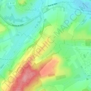
Tremblois topographic map
Interactive map
Click on the map to display elevation.
About this map
Name: Tremblois topographic map, elevation, terrain.
Average elevation: 313 m
Minimum elevation: 273 m
Maximum elevation: 382 m
Other topographic maps
Click on a map to view its topography, its elevation and its terrain.
Domvallier
France > Grand Est > Vosges > Domvallier
Domvallier, Neufchâteau, Vosges, Grand Est, France métropolitaine, 88500, France
Average elevation: 314 m