
Haimhausen topographic map
Interactive map
Click on the map to display elevation.
About this map
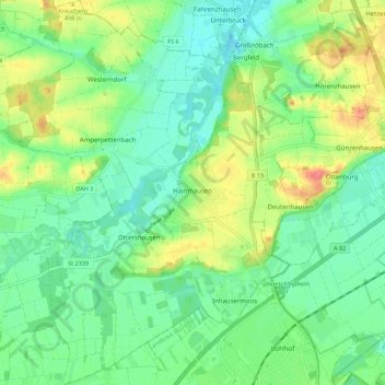
Name: Haimhausen topographic map, elevation, terrain.
Location: Haimhausen, Landkreis Dachau, Bavière, 85778, Allemagne (48.27867 11.50635 48.35212 11.58216)
Average elevation: 475 m
Minimum elevation: 451 m
Maximum elevation: 521 m
Other topographic maps
Click on a map to view its topography, its elevation and its terrain.
Dachau
Allemagne > Bavière > Landkreis Dachau
Dachau, Landkreis Dachau, Bavière, 85221, Allemagne
Average elevation: 490 m