
Haversin topographic map
Interactive map
Click on the map to display elevation.
About this map
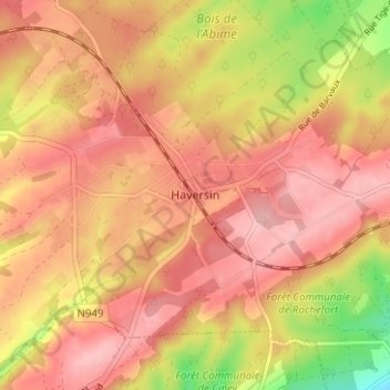
Name: Haversin topographic map, elevation, terrain.
Location: Haversin, Ciney, Dinant, Namen, Wallonië, 5590, België (50.22891 5.17495 50.26891 5.21495)
Average elevation: 295 m
Minimum elevation: 204 m
Maximum elevation: 341 m
Other topographic maps
Click on a map to view its topography, its elevation and its terrain.