
Мерке topographic map
Interactive map
Click on the map to display elevation.
About this map
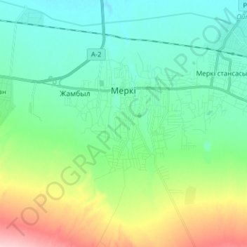
Name: Мерке topographic map, elevation, terrain.
Location: Мерке, Меркенский район, Жамбылская область, Казахстан (42.83677 73.13723 42.91498 73.26293)
Average elevation: 702 m
Minimum elevation: 667 m
Maximum elevation: 792 m