
Horendonk topographic map
Interactive map
Click on the map to display elevation.
About this map
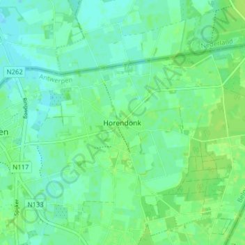
Name: Horendonk topographic map, elevation, terrain.
Location: Horendonk, Essen, Antwerpen, 2910, België (51.44942 4.48270 51.48942 4.52270)
Average elevation: 13 m
Minimum elevation: 7 m
Maximum elevation: 18 m
Other topographic maps
Click on a map to view its topography, its elevation and its terrain.