
Kati topographic map
Interactive map
Click on the map to display elevation.
About this map
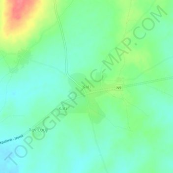
Name: Kati topographic map, elevation, terrain.
Location: Kati, Plateaux Region, Togo (6.87254 0.82981 6.91254 0.86981)
Average elevation: 164 m
Minimum elevation: 143 m
Maximum elevation: 211 m