
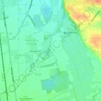
Friedberger Ach topographic map
Interactive map
Click on the map to display elevation.
About this map
Name: Friedberger Ach topographic map, elevation, terrain.
Average elevation: 493 m
Minimum elevation: 479 m
Maximum elevation: 522 m
Other topographic maps
Click on a map to view its topography, its elevation and its terrain.
Dickelsmoor
Deutschland > Bayern > Friedberg > Dickelsmoor
Dickelsmoor, Friedberg, Landkreis Aichach-Friedberg, Bayern, 86167, Deutschland
Average elevation: 467 m