
Thank you for supporting this site ❤️
Make a donation
Make a donation
Gear up for your next adventure:
As an Amazon Associate, this site earns from qualifying purchases at no extra cost to you.
Unterkulm topographic map
Click on the map to display elevation.
Thank you for supporting this site ❤️
Make a donation
Make a donation
Gear up for your next adventure:
As an Amazon Associate, this site earns from qualifying purchases at no extra cost to you.
About this map
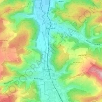
Name: Unterkulm topographic map, elevation, terrain.
Location: Unterkulm, Bezirk Kulm, Aargau, 5726, Switzerland (47.30232 8.08209 47.33851 8.13216)
Average elevation: 534 m
Minimum elevation: 433 m
Maximum elevation: 688 m
Thank you for supporting this site ❤️
Make a donation
Make a donation
Gear up for your next adventure:
As an Amazon Associate, this site earns from qualifying purchases at no extra cost to you.