
Lac Emro topographic map
Interactive map
Click on the map to display elevation.
About this map
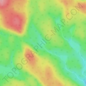
Name: Lac Emro topographic map, elevation, terrain.
Location: Lac Emro, Lac-Nilgaut, Pontiac, Outaouais, Quebec, Canada (46.23257 -76.41811 46.23482 -76.41537)
Average elevation: 311 m
Minimum elevation: 252 m
Maximum elevation: 378 m
Other topographic maps
Click on a map to view its topography, its elevation and its terrain.
Lac Forant
Canada > Quebec > Pontiac > Lac-Nilgaut
Lac Forant, Lac-Nilgaut, Pontiac, Outaouais, Quebec, Canada
Average elevation: 285 m