
Sátão topographic map
Interactive map
Click on the map to display elevation.
About this map
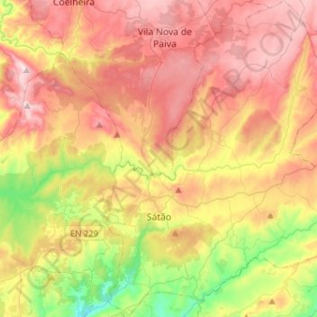
Name: Sátão topographic map, elevation, terrain.
Location: Sátão, Viseu, Viseu Dão-Lafões, Centro, Portugal (40.68107 -7.77551 40.87479 -7.57070)
Average elevation: 637 m
Minimum elevation: 338 m
Maximum elevation: 920 m