
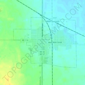
Hilbert topographic map
Interactive map
Click on the map to display elevation.
About this map
Name: Hilbert topographic map, elevation, terrain.
Location: Hilbert, Calumet County, Wisconsin, United States (44.13129 -88.17685 44.14733 -88.14890)
Average elevation: 258 m
Minimum elevation: 250 m
Maximum elevation: 274 m