
Two Rivers topographic map
Interactive map
Click on the map to display elevation.
About this map
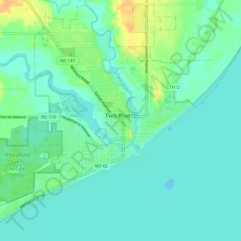
Name: Two Rivers topographic map, elevation, terrain.
Location: Two Rivers, Manitowoc County, Wisconsin, USA (44.12245 -87.63048 44.18274 -87.54357)
Average elevation: 180 m
Minimum elevation: 172 m
Maximum elevation: 200 m