
Strassen topographic map
Interactive map
Click on the map to display elevation.
About this map
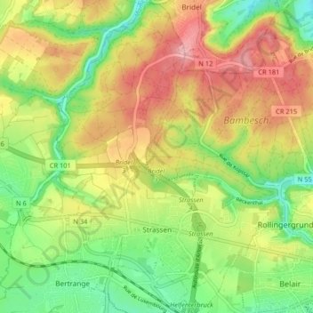
Name: Strassen topographic map, elevation, terrain.
Location: Strassen, Canton Luxembourg, Luxembourg (49.60560 6.04582 49.65829 6.10377)
Average elevation: 322 m
Minimum elevation: 257 m
Maximum elevation: 396 m