Geolocate

Hunts Corner topographic map

Click on the map to display elevation.

About this map

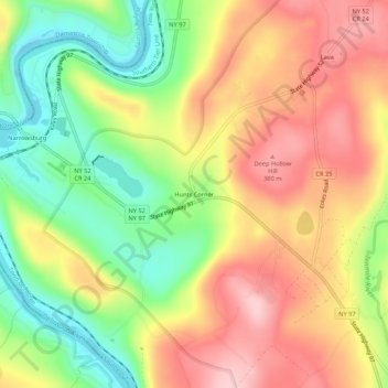
Name: Hunts Corner topographic map, elevation, terrain.

Location: Hunts Corner, Town of Tusten, Sullivan County, New York, 12764, United States (41.58259 -75.05739 41.62259 -75.01739)

Average elevation: 296 m

Minimum elevation: 192 m

Maximum elevation: 395 m

Other topographic maps

Click on a map to view its topography, its elevation and its terrain.

Gear up for your next adventure:

🧯Animal Deterrent Spray - Safety spray for wildlife
🎒40L Day Hiking Backpacks - Comfortable packs with hydration support for long days exploring topographic peaks
🔪Outdoor Multi-tools - Versatile tools for gear repair and survival tasks in the wilderness
🧥Insulated Down Jackets - High warmth-to-weight ratio for cold nights in the high country
🖼️Scratch-off Australia Map - Track the regions and peaks you have explored geographically

As an Amazon Associate, this site earns from qualifying purchases at no extra cost to you.