
Theresa Creek topographic map
Interactive map
Click on the map to display elevation.
About this map
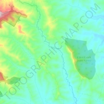
Name: Theresa Creek topographic map, elevation, terrain.
Average elevation: 185 m
Minimum elevation: 73 m
Maximum elevation: 558 m
Other topographic maps
Click on a map to view its topography, its elevation and its terrain.
Mummulgum
Australia > New South Wales > Mummulgum
Mummulgum, Kyogle Council, New South Wales, 2469, Australia
Average elevation: 207 m