
Heidenkopf topographic map
Interactive map
Click on the map to display elevation.
About this map
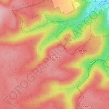
Name: Heidenkopf topographic map, elevation, terrain.
Location: Heidenkopf, Kölleda, Landkreis Sömmerda, Thuringe, Allemagne (51.24720 11.36737 51.24730 11.36747)
Average elevation: 314 m
Minimum elevation: 178 m
Maximum elevation: 374 m