
Thank you for supporting this site ❤️
Make a donation
Make a donation
Gear up for your next adventure:
As an Amazon Associate, this site earns from qualifying purchases at no extra cost to you.
Ticlla topographic map
Click on the map to display elevation.
Thank you for supporting this site ❤️
Make a donation
Make a donation
Gear up for your next adventure:
As an Amazon Associate, this site earns from qualifying purchases at no extra cost to you.
About this map
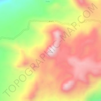
Name: Ticlla topographic map, elevation, terrain.
Location: Ticlla, Chachas, Province of Castilla, Arequipa, Peru (-15.41222 -72.20971 -15.41212 -72.20961)
Average elevation: 5,074 m
Minimum elevation: 4,756 m
Maximum elevation: 5,280 m
Thank you for supporting this site ❤️
Make a donation
Make a donation
Gear up for your next adventure:
As an Amazon Associate, this site earns from qualifying purchases at no extra cost to you.