
Sorapata topographic map
Interactive map
Click on the map to display elevation.
About this map
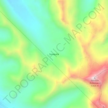
Name: Sorapata topographic map, elevation, terrain.
Location: Sorapata, Carabaya, Puno, Perú (-14.05034 -70.24508 -14.01034 -70.20508)
Average elevation: 4,827 m
Minimum elevation: 4,519 m
Maximum elevation: 5,338 m