
Banten topographic map
Interactive map
Click on the map to display elevation.
About this map
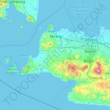
Name: Banten topographic map, elevation, terrain.
Location: Banten, Indonesia (-7.45659 104.65132 -5.49964 106.78001)
Average elevation: 117 m
Minimum elevation: -2 m
Maximum elevation: 2,975 m