
La Haute Allée topographic map
Interactive map
Click on the map to display elevation.
About this map
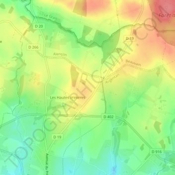
Name: La Haute Allée topographic map, elevation, terrain.
Average elevation: 262 m
Minimum elevation: 224 m
Maximum elevation: 303 m
Other topographic maps
Click on a map to view its topography, its elevation and its terrain.
La Fonderie
France > Normandie > La Ferté-Macé
La Fonderie, La Ferté-Macé, Argentan, Orne, Normandie, France métropolitaine, 61600, France
Average elevation: 195 m