
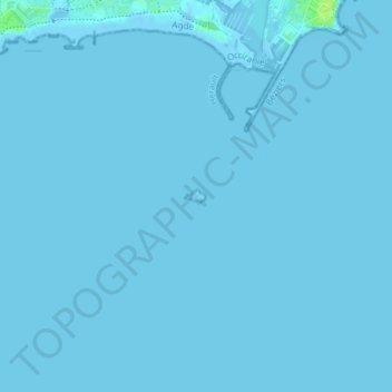
Fort de Brescou topographic map
Interactive map
Click on the map to display elevation.
About this map
Name: Fort de Brescou topographic map, elevation, terrain.
Average elevation: 0 m
Minimum elevation: -2 m
Maximum elevation: 11 m
Other topographic maps
Click on a map to view its topography, its elevation and its terrain.
Île Saint-Martin
France > Occitanie > Hérault > Agde
Île Saint-Martin, Agde, Béziers, Hérault, Occitanie, France métropolitaine, 34300, France
Average elevation: 36 m