
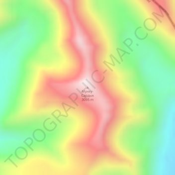
Мунку-Сардык topographic map
Interactive map
Click on the map to display elevation.
About this map
Name: Мунку-Сардык topographic map, elevation, terrain.
Location: Мунку-Сардык, Renchinlkhümbe, Chöwsgöl, Mongolei (51.73118 100.25237 51.73128 100.25247)
Average elevation: 2,712 m
Minimum elevation: 2,363 m
Maximum elevation: 3,096 m