
Kayonza topographic map
Interactive map
Click on the map to display elevation.
About this map
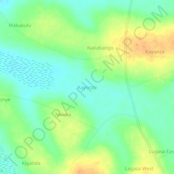
Name: Kayonza topographic map, elevation, terrain.
Location: Kayonza, Kayunga, Central Region, Uganda (0.86583 32.83528 0.90583 32.87528)
Average elevation: 1,063 m
Minimum elevation: 1,047 m
Maximum elevation: 1,083 m