
Thank you for supporting this site ❤️
Make a donation
Make a donation
Gear up for your next adventure:
As an Amazon Associate, this site earns from qualifying purchases at no extra cost to you.
Ridgeway topographic map
Click on the map to display elevation.
Thank you for supporting this site ❤️
Make a donation
Make a donation
Gear up for your next adventure:
As an Amazon Associate, this site earns from qualifying purchases at no extra cost to you.
About this map
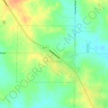
Name: Ridgeway topographic map, elevation, terrain.
Location: Ridgeway, Winneshiek County, Iowa, United States (43.29155 -92.00246 43.30584 -91.98235)
Average elevation: 364 m
Minimum elevation: 347 m
Maximum elevation: 386 m
Thank you for supporting this site ❤️
Make a donation
Make a donation
Gear up for your next adventure:
As an Amazon Associate, this site earns from qualifying purchases at no extra cost to you.
Other topographic maps
Click on a map to view its topography, its elevation and its terrain.
Coon River Wildlife Management Area
United States > Iowa > Winneshiek County > Sattre
Average elevation: 295 m