
McVay Rock State Recreation Site topographic map
Interactive map
Click on the map to display elevation.
About this map
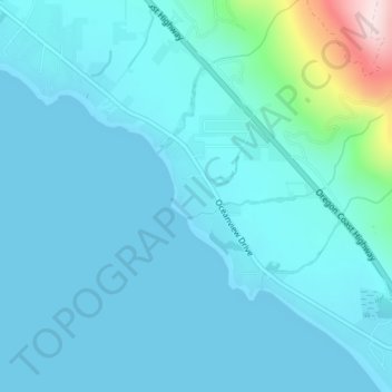
Name: McVay Rock State Recreation Site topographic map, elevation, terrain.
Average elevation: 44 m
Minimum elevation: 0 m
Maximum elevation: 399 m
Other topographic maps
Click on a map to view its topography, its elevation and its terrain.
Crissey Field State Park
Crissey Field State Park, Winchuck, Curry County, Oregon, USA
Average elevation: 41 m