Geolocate

Bhedaghat topographic map

Click on the map to display elevation.

About this map
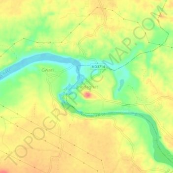
Name: Bhedaghat topographic map, elevation, terrain.

Location: Bhedaghat, GorakhpurTahsil, Jabalpur, Madhya Pradesh, India (23.11175 79.78099 23.15175 79.82099)

Average elevation: 372 m

Minimum elevation: 334 m

Maximum elevation: 404 m

Gear up for your next adventure:

🔪Outdoor Multi-tools - Versatile tools for gear repair and survival tasks in the wilderness
📕Hiking Guide Books - Guides for hiking trails
🎒Ultralight Backpacks - Lightweight packs for long hikes
🧥Thermal Emergency Blankets - Compact Mylar blankets to prevent hypothermia if stranded overnight
🏃Compression Recovery Socks - Reduce leg fatigue after heavy days of elevation gain

As an Amazon Associate, this site earns from qualifying purchases at no extra cost to you.