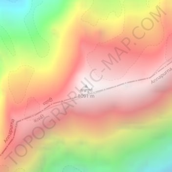
अन्नपूर्ण topographic map
Interactive map
Click on the map to display elevation.
About this map
Name: अन्नपूर्ण topographic map, elevation, terrain.
Average elevation: 7,127 m
Minimum elevation: 5,715 m
Maximum elevation: 8,033 m

Click on the map to display elevation.
Name: अन्नपूर्ण topographic map, elevation, terrain.
Average elevation: 7,127 m
Minimum elevation: 5,715 m
Maximum elevation: 8,033 m