Geolocate

Gentam topographic map

Click on the map to display elevation.

About this map

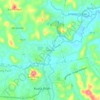
Name: Gentam topographic map, elevation, terrain.

Location: Gentam, Kuala Pilah, Negeri Sembilan, 72000, Malaysia (2.73402 102.23027 2.77402 102.27027)

Average elevation: 99 m

Minimum elevation: 70 m

Maximum elevation: 170 m

Gear up for your next adventure:

🛌Sleeping Mats - Insulated mats for camping comfort
🥤Hydration Packs - Hydration systems for hiking
🍶Collapsible Water Bottles - Save space in your pack as you consume your water supply
🥾Heavy Duty Hiking Boots - Ankle-supporting boots for carrying heavy packs on steep contours
Outdoor Coffee Makers - Enjoy quality coffee at the summit of your favorite peak

As an Amazon Associate, this site earns from qualifying purchases at no extra cost to you.